

Agri-Multispectral
Actionable Aerial Insights with Multispectral Drone Surveys

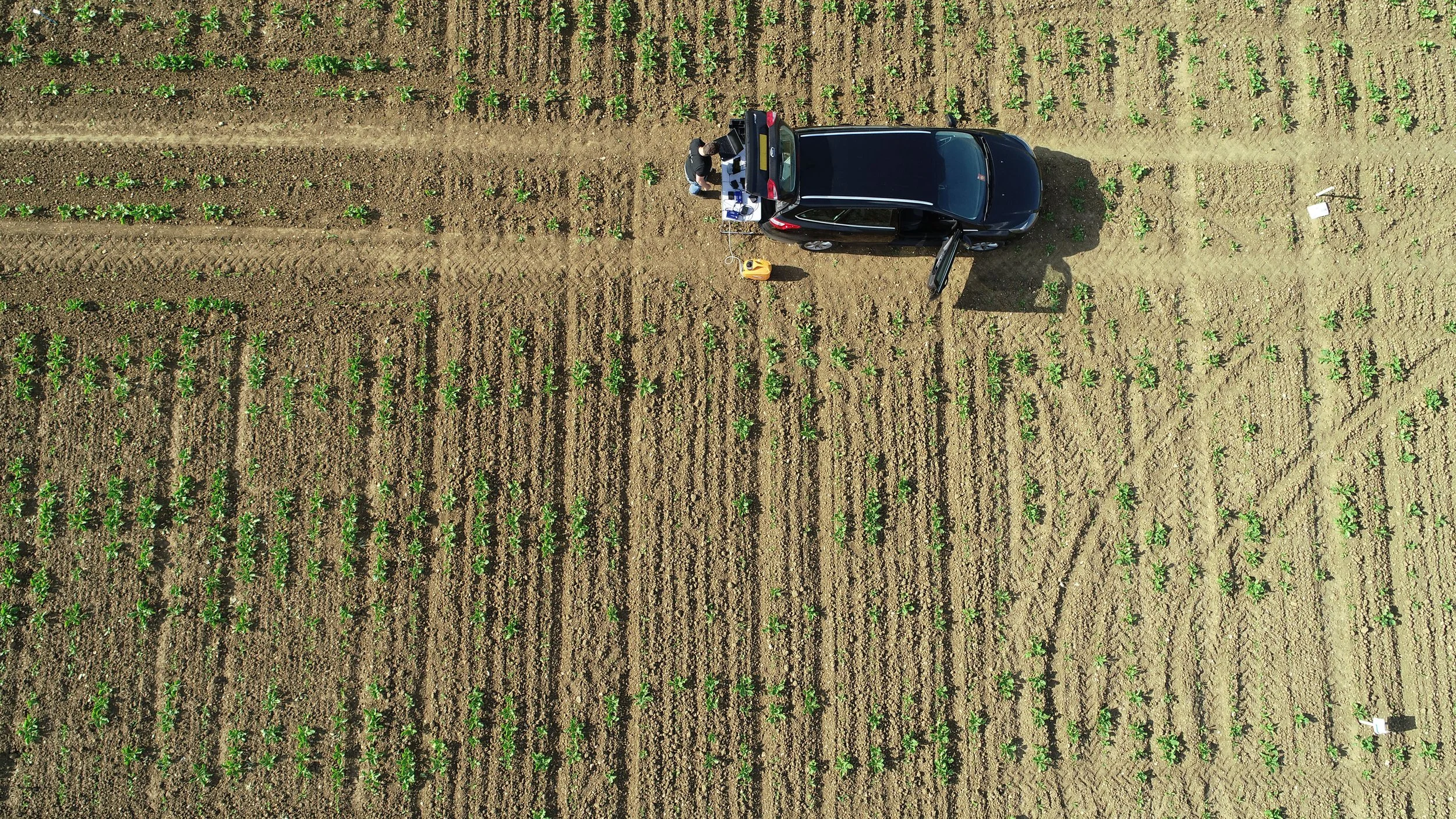
Agri-Multispectral Drone Surveys
Our multispectral drone surveys capture detailed data across visible and non-visible wavelengths, enabling precise analysis of vegetation, crops, soil, and environmental conditions.
Ideal for agriculture, land management, and ecological monitoring, multispectral imaging allows early detection of issues that aren't visible to the naked eye — saving time, reducing inputs, and improving outcomes.


Use Cases
Precision agriculture and crop health monitoring
Forestry and reforestation progress tracking
Environmental and wetland surveys
Drainage and soil moisture assessment
Green roof and landscaping inspections
Benefits & Deliverables
NDVI, NDRE, NDWI and GNDVI vegetation index maps
RGB, NIR, and Red Edge imagery
Georeferenced orthomosaics
Zone-based application or treatment maps
Data compatible with farm and GIS systems


Credentials
We operate ALTUM high-resolution multispectral sensors on RTK-enabled UAVs, flown by CAA-certified pilots with expertise in remote sensing and agricultural analysis.
See your land in a new light. Contact us today to book a multispectral survey tailored to your site and goals.