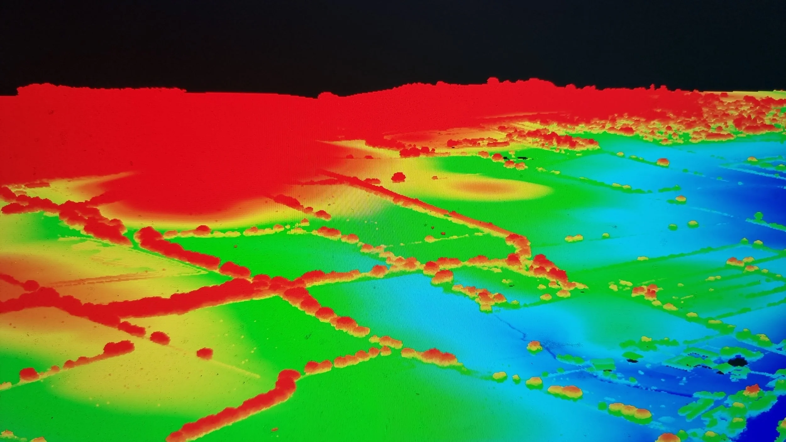
LiDAR Surveys
High-Accuracy LiDAR Drone Surveys for Engineering & Infrastructure

LiDAR Surveys
Our drone-based LiDAR (Light Detection and Ranging) surveys deliver high-resolution 3D point clouds and digital terrain models with centimetre-level accuracy.
Ideal for topographic mapping, infrastructure planning, and civil engineering, LiDAR allows you to scan large or hard-to-reach areas safely and efficiently.

Use Cases
Construction site modelling
Flood risk and drainage mapping
Powerline corridor surveys
Archaeological terrain analysis
Road and rail route assessments
Pre-design data
Line of sight surveys
Benefits & Deliverables
Dense point clouds & DTM/DSM output
High accuracy from the air
Reduced time on site vs. traditional methods
Ideal for vegetated or inaccessible terrain
CAD/GIS compatible data formats
Credentials
We use survey-grade LiDAR sensors mounted on RTK-enabled UAVs, operated by CAA-certified pilots and experienced survey professionals.
Contact us today to discuss your LiDAR survey needs — and get data you can build on.


